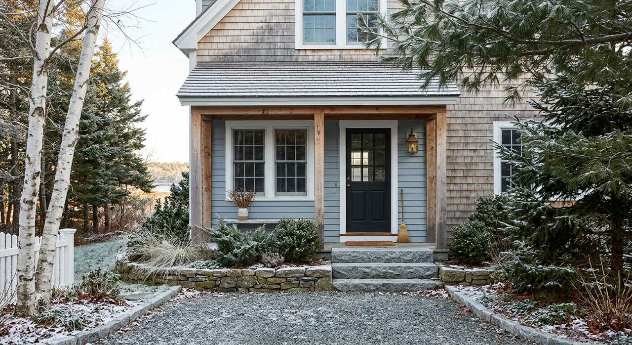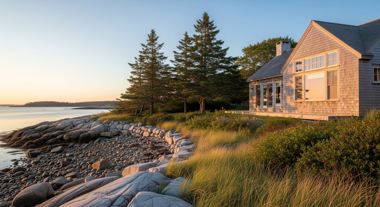
Thinking about a waterfront home in Gouldsboro, but not sure what you can build, clear, or repair near the shore? You’re not alone. Maine’s shoreland zoning rules protect water quality and habitat, and they also shape your plans for views, additions, docks, and landscaping. In this guide, you’ll learn how the basics work, what to verify in Gouldsboro, and the steps to take before you buy so your project stays on track. Let’s dive in.
Shoreland zoning in Maine: the basics
Maine’s shoreland zoning program sets minimum standards to protect water quality, wildlife habitat, and public safety near coastal waters, rivers, great ponds, and certain wetlands. Towns adopt local ordinances that meet or exceed these state standards. Some projects may also require separate state or federal approvals.
If your property lies within a certain distance of the normal high‑water line or the upland edge of qualifying wetlands, shoreland rules apply. That means extra care with siting, vegetation, runoff, and shore‑altering activities. The exact mapped boundary and rules can vary by town, so you’ll confirm details with Gouldsboro’s Code Enforcement Officer (CEO).
Where the rules apply in Gouldsboro
Shoreland zoning typically covers land within a defined distance of the water. To confirm if a Gouldsboro parcel is inside the shoreland zone, review the town’s shoreland zoning map, assessor’s maps, and a boundary survey showing the normal high‑water line. The CEO can provide an official determination so you know which sections of the ordinance apply.
Two layers of regulation often interact. You’ll work with Gouldsboro’s local shoreland ordinance and, for some shoreline or in‑water work, state permits may also be required. For complex projects, timing and sequencing matter because state or federal reviews can add months to your timeline.
Common scenarios for Gouldsboro buyers
Use these scenarios as a checklist. The exact numbers and distances come from the local ordinance and your site conditions, so always verify with the CEO.
Confirm the shoreland boundary
- Consult Gouldsboro’s shoreland zoning map and assessor’s maps.
- Review any survey that shows the normal high‑water line and elevations.
- Ask the CEO for a written zoning determination for certainty.
Setbacks and home siting
- Many shoreland ordinances set minimum setbacks from the high‑water line for homes and additions.
- Check permitted building footprints, height limits, and rules for garages or sheds.
- Resource protection areas may require larger setbacks or limit where you can build.
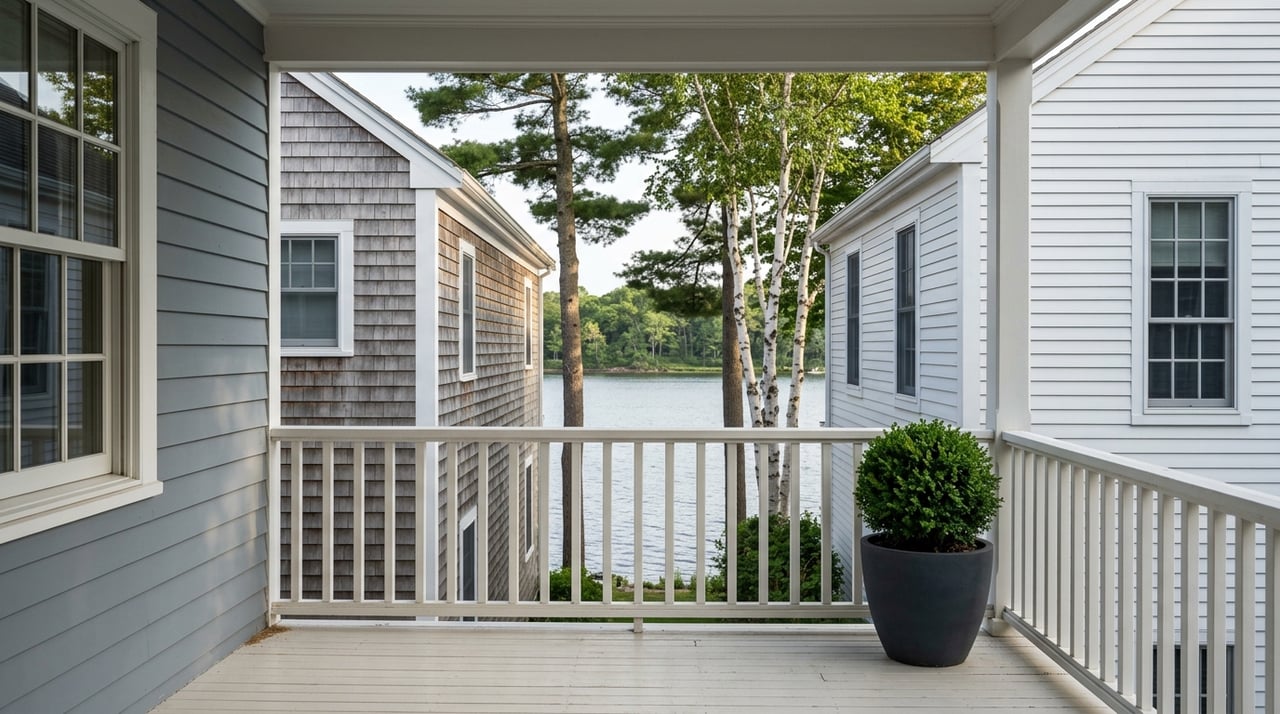
Vegetation and view corridors
- Shoreland rules usually protect vegetated buffers along the water.
- Selective trimming and a narrow view corridor are commonly allowed, but full clearing is typically not.
- Some towns require a minimum amount of vegetation to remain outside the view corridor.
Impervious surfaces and runoff
- Driveways, patios, and roofs increase runoff toward the water.
- Some shoreland zones cap impervious coverage or require stormwater controls above set thresholds.
- Ask what mitigation methods are acceptable, such as permeable pavers, swales, or rain gardens.
Docks, piers, and moorings
- Docks and small piers may be allowed with local approval.
- Tidal influence, wetland impact, and structure type can trigger state or federal permits.
- Seasonal floating systems are often reviewed differently from permanent structures.
Shoreline stabilization
- Hard armor such as seawalls or large riprap is closely regulated due to erosion and habitat impacts.
- Soft stabilization, like vegetated buffers or bioengineering, is often preferred when feasible.
- Substantial shore‑alteration typically needs local permits and may require state review.
Septic systems and wastewater
- Septic placement, replacement, and expansion must meet both septic rules and shoreland setbacks.
- On smaller waterfront lots, the existing system can limit bedroom counts or additions.
- Obtain septic records and consider a soil/site evaluation early if you plan to renovate.
Nonconforming cottages and expansions
- Many older waterfront homes predate current rules and are nonconforming.
- Routine maintenance is often allowed, but expansions may be limited or need a variance.
- Get clarity on thresholds for expansion and any required mitigation.
Floodplain and coastal factors
- Some waterfront parcels are in flood hazard zones, which affect building elevation and anchoring.
- Coastal erosion, storm surge, and tidal flooding risks may shape your design and permitting.
- Check FEMA flood maps and ask about any local overlay zones that apply.
What to ask the town and what to verify
Before you fall in love with a view, get answers to these questions and gather the right documents:
Key questions for Gouldsboro’s CEO or Planning Board
- Is the property inside the municipal shoreland zone? Request an official map or zoning determination.
- Who administers shoreland permits for this site, the town or the state, and who issues which permits?
- What setbacks apply to homes, accessory buildings, septic systems, and paths?
- What are the vegetation and view corridor rules, including allowed widths and methods?
- Are there impervious surface limits and required stormwater practices?
- Which projects need a local shoreland permit, building permit, or Planning Board review?
- How are nonconforming structures and expansions treated? What are the variance standards?
- Do docks, piers, or shoreline stabilization require state or federal permits?
- Are there local overlay zones that affect the parcel, such as resource protection or floodplain?
- What are the permit forms, fees, and expected processing times?
Documents and maps to obtain
- Gouldsboro shoreland zoning ordinance and zoning map (latest version).
- Assessor parcel map, deed, and any boundary survey showing the high‑water line.
- FEMA Flood Insurance Rate Map printout for the property.
- Maine septic rules references and local plumbing/site evaluator records.
- Any past permits, variances, or shoreline modification records for the lot.
Permitting workflow and your local team
Getting the sequence right can save weeks or months. Here is a typical order of operations:
- Have a pre‑application conversation with the CEO to confirm your permitting path and required studies.
- Order a boundary survey and any needed soil or site evaluations.
- Develop a preliminary design that respects setbacks, buffers, and coverage limits.
- Submit the local shoreland and building permit applications. If Planning Board review is required, prepare for that schedule.
- File any state or federal permits, such as for tidal structures or wetland impacts, as directed by the town.
- After approvals, follow inspection requirements during and after construction.
You may need a team that includes a licensed surveyor, a soil/site evaluator, an architect or contractor familiar with shoreland rules, and for complex shoreline work, a coastal or civil engineer. An environmental consultant or attorney can help with wetlands or variances.
Smart pre‑offer moves for buyers
Doing your homework early can protect your plans and your budget.
- Ask your agent to request a zoning determination from the CEO before you make an offer.
- Review the deed, easements, and any prior permits or variances on file.
- Obtain septic records and, if you plan to add bedrooms or renovate, schedule a site evaluation.
- Check flood maps and elevation data to plan for insurance and resilience.
- Build time into contingencies for permits, surveys, and design revisions.
Timelines, costs, and expectations
Shoreline projects can take longer than inland work. State or federal permits may add months to the timeline, and mitigation measures can increase costs. Small differences in setbacks, buffer definitions, or how the high‑water line is interpreted can change what is feasible on a lot. Planning ahead, confirming details with the CEO, and engaging the right professionals will keep your project moving and reduce surprises.
If you’re exploring a Gouldsboro waterfront purchase, early verification is your best tool. A clear path from due diligence to permits lets you enjoy the property sooner and with fewer detours.
Ready to talk through a specific property or plan your next steps? Reach out to the local team at Aimi Baldwin Real Estate for guidance and introductions to trusted Downeast professionals.
FAQs
How close can I build to the water in Gouldsboro?
- Setback distances are defined in Gouldsboro’s ordinance and vary by shoreline type and resource protection status; confirm with the CEO and a survey.
Can I clear trees to improve my waterfront view?
- Most ordinances allow selective trimming or a narrow view corridor but prohibit full clearing within the shoreline buffer; the town will define widths and methods.
Do I need a permit for a dock or seasonal float?
- Almost always check with the town; docks typically need local approval and may also require state or federal permits depending on tidal or wetland factors.
Can I rebuild or expand an older waterfront cottage?
- Nonconforming structures often allow routine maintenance, while expansions can be limited or need a variance; get a zoning determination before you commit.
Will shoreland rules prevent me from landscaping my yard?
- Low‑impact landscaping that maintains vegetative cover is usually allowed; extensive regrading or hard armor tends to trigger review and permitting.
Who enforces shoreland rules in Gouldsboro and what are penalties?
- The town’s CEO typically enforces the ordinance, and the state can step in for serious violations; penalties can include stop‑work orders, fines, and corrective actions.